Mobile GIS Mapping Lab
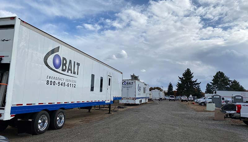
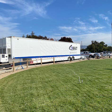
Our GIS Trailer is a critical component for emergency response utilizing ArcGIS software, our large scale plotter printer, and other essential tools. During fire season, mapping software is essential to manage incident potential, define exposures in the fire’s path, assessing wildfire risk, distributing help and keeping track of resources. Our GIS Trailer offers a comfortable work environment 24/7 for command teams making decisive decisions in crucial situations. Features include: 1 High speed laser multi-function printer, 2 HP T1500 series plotters capable of outputting 36” media, 8 workstations with a full range of software including: ArcGIS, Adobe Acrobat Pro, Microsoft Office 365 Business, X-Tools Pro, GNU Image Manipulation, Dual HVAC: 6 ton cooling and 10kw heating to ensure a comfortable work environment.


